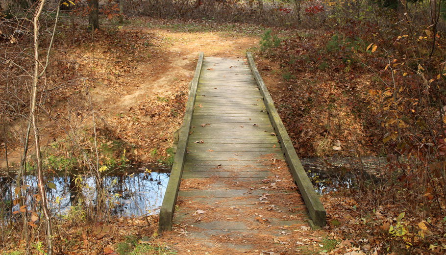
Ice Age Trail passes through area counties
By Greg Seubert
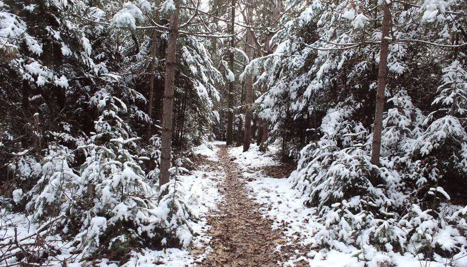
Winter outdoor activities in Wisconsin range from cross-country skiing to ice fishing to snowmobiling.
Hiking can be added to that list as well.
A national trail that passes through Waupaca, Portage and Waushara counties is a perfect place to lace up the hiking boots.
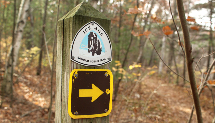
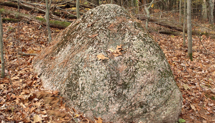
The Ice Age National Scenic Trail is a 1,000-mile long footpath that traces the edge of the last glacier that covered North America more than 10,000 years ago.
The trail is managed by a partnership among the National Park Service, state Department of Natural Resources and Ice Age Trail Alliance.
The trail crosses private land, community, county and state parks and national forest land.
“We know the trail is used a lot during the winter,” said Melissa Pierick, director of marketing and community relations for the Ice Age Trail Alliance, an organization based in Cross Plains, near Madison.
“I personally love hiking in the winter,” she said. “It’s my favorite season to do it. I’m not a winter person, so that says a lot.”
The trail’s local sections include the Waupaca River, Hartman Creek, Emmons Creek, Skunk and Foster Lakes and New Hope/Iola Ski Hill segments in Waupaca and Portage counties and the Chaffee Creek, Wedde Creek, Mecan River, Greenwood Wildlife, Bohn Lake and Deerfield segments in Waushara County.
Benefits of winter hiking
Winter hiking has its advantages, according to Pierick.
“There are no bugs,” she said. “You see things that maybe the leaves and ground cover up during the summer. Of course there’s snow, but it just has a different look and feel during the winter. There’s something about how quiet everything is, especially when there’s snowfall.
“What I like doing is walking segments during the summer and then going back the winter and revisiting them,” she said. “It’s almost like it’s a whole new trail.”
The covid pandemic led to increased use of the trail, which stretches from Interstate Park near St. Croix Falls to Potawatomi State Park near Sturgeon Bay.
“During the pandemic, we definitely saw a big increase in people using the trail and that has continued,” Pierick said. “Once someone discovers the Ice Age Trail, you kind of get addicted to it and you start hiking segment after segment after segment.”
Some people prefer snowshoeing over hiking.
“People can snowshoe any part of the Ice Age Trail,” Pierick said. “Personally, I like snowshoeing when it’s in deeper snow and unless you’re the first one out on the trail after a snowfall, someone’s probably hiked the trail before you and packed it down a little. If that’s how people want to hike the trail, then they should use their snowshoes. Most of the time, the trail is just fine with normal hiking shoes or boots.”
As far as winter hikes, Pierick suggested the segment of the trail that runs through Marathon County’s Dells of the Eau Claire County Park, between Wausau and Antigo.
“I hit that one in March of last year just as the ice was starting to break up and it was something,” she said. “It was really pretty and we were the only ones out there. I was thinking that this must be totally different during the summer because people climb on the rocks.”
Pierick said hikers unfamiliar with the trail and interested in checking it out should start by visiting the alliance’s website, www.iceagetrail.org.
“My advice is to start close to home,” she said. “Go to a trail that’s near you, check it out and you’re going to be hooked. Go to our website and look at what the next section of trail is. We have atlases and guidebooks that tell you where to park and how to access the trail. You can find the individual atlas maps, print them and take them with you.”
Free access to trail
“It’s an amazing resource that everybody in the state should know about,” Pierick said. “People either know the trail or they have no clue about the trail. One of the things that makes it unique is that it is one of three national scenic trails within a state.”
The alliance promotes the trail with the help of 15 official trail communities located throughout Wisconsin. From west to east, those communities are St. Croix Falls, Cornell, Antigo, Lodi, Cross Plains, Verona, Janesville, Milton, Whitewater, Delafield, Hartland, Slinger, West Bend, Manitowoc/Two Rivers and Sturgeon Bay.
“It’s a relationship between the Ice Age Trail Alliance and the community,” Pierick said. “The person who first envisioned the trail wanted to bring the uniqueness of Wisconsin communities so that hikers could go and see towns that most likely you never would otherwise.”
Segments in the Madison and Milwaukee areas see heavy use, while others in northern Wisconsin are rarely hiked, Pierick said.
“As we’ve seen the increase in popularity of the trail, people are going further and further away from their homes,” she said. “We have more thousand-milers, people who complete the entire trail. They might not have through-hiked it, but they segment-hiked it. We have people submitting their completion forms almost on a daily basis.”
Pierick anticipates the trail’s increased use to continue.
“Maybe they discovered it back when they were quarantined at home,” she said. “They know it’s there and it’s giving them a reason to travel to other parts of the state and discover all these other towns.
“Some people find spiritual renewal, other people use it to get away from their kids or the stresses of normal life and be by themselves,” she added. “Just go out there and connect with nature. Good things will happen.”
Suggested winter hikes
By Greg Seubert
Travelwisconsin.com, the state Department of Tourism’s website, suggests the following 11 segments of the Ice Age National Scenic Trail for a winter hike:
• Straight Lake Segment (Polk County). This 3.6-mile long segment of the trail takes hikers through wooded land surrounding two lakes in Straight Lake State Park. Small parking lots are located at trailheads at both ends of the park. In the winter the pristine beauty of the park’s lakes and rivers create a stunning backdrop. Hikers in the eastern end of the park will find a unique, curved boardwalk and views of the Straight River valley. The northern stretch includes a walk along the shore of Straight Lake and through a dense forest.
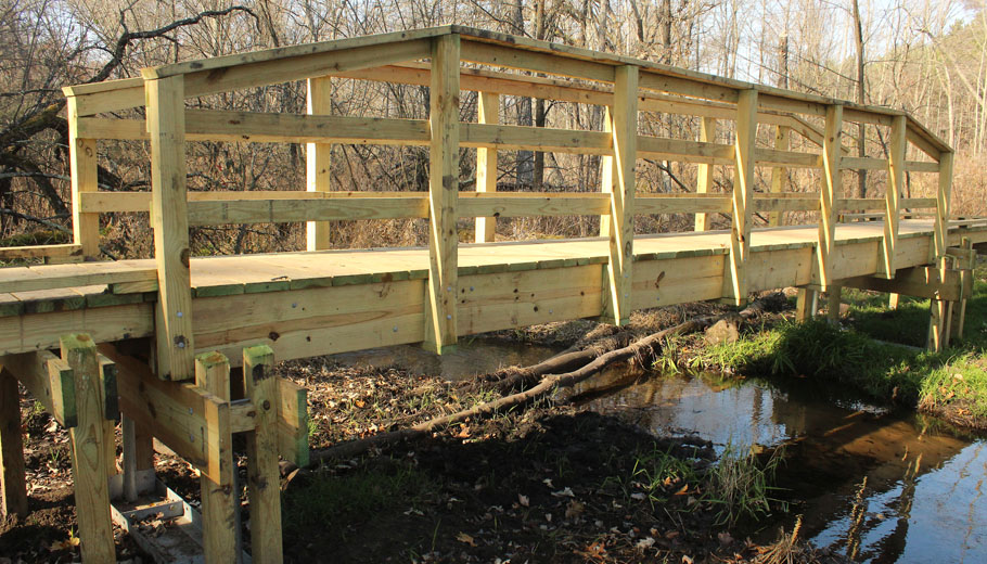
• Jerry Lake Segment (Taylor County). This segment in the Chequamegon-Nicolet National Forest includes 15 miles of the Chippewa Moraine. Trailhead parking is available at either end of the segment and the route includes several spots for primitive camping. The trail includes a 67-foot-long bridge over the South Fork of the Yellow River. A portion of the trail also follows the northern shore of Jerry Lake and connects with other trails in the forest’s Ice Age Primitive Area.
• Harrison Hills Segment (Lincoln County). The segment includes the highest point along the Ice Age National Scenic Trail and crosses more than 14 miles of roller-coaster hills, including Lookout Mountain, which is 1,920 feet above sea level. For those who are interested in a shorter hike, there is trailhead parking less than 2 miles northeast of the mountain along County Trunk B.
• Dells of the Eau Claire Segment (Marathon County). The trail follows 3 miles of shoreline along the Eau Claire River through Dells of the Eau Claire County Park. The trail crosses the river in several areas, including over a dam on the eastern end of the park. The river flows over potholes and rock formations, creating whirlpools and waterfalls.
• John Muir Park Segment (Marquette County). The segment of the trail in John Muir Memorial County Park is only 1.7 miles and circles around 30-acre Ennis Lake. The park exists on land that was once the childhood home of Muir, a conservationist who founded the Sierra Club. The Ice Age Trail Alliance recommends the hike as an opportunity to “literally walk in Muir’s footsteps and see a landscape that has changed little since he lived here more than a century and a half ago.”
• Indian Lake Segment (Dane County). Indian Lake County Park is popular for snowshoeing, cross-country skiing and sledding. With a warming house, plenty of parking, scenic vistas of Indian Lake, and onsite facilities, it’s a great place for a winter hike through the woods. The 2.8-mile segment of the Ice Age Trail can be turned into a 5-mile loop by hiking, snowshoeing or cross-country skiing along one of the several trails throughout the park.
• Albany Segment (Green County). The Albany Segment coincides with more than 9 miles of the Sugar River State Trail to create a straight, flat segment perfect for snowshoeing and wildlife viewing. The eastern end of the segment passes through the Albany State Wildlife Area and features numerous wooden bridges that cross the Little Sugar and Sugar rivers. Trailheads are located in Monticello and Albany.
• Eagle Segment (Waukesha County). Located in the heart of the Southern Unit of the Kettle Moraine State Forest, this segment traverses 5.6 miles through prairies and wetlands. A unique feature along the trail includes Brady’s Rocks, which weaves through 8-foot-tall dolomite outcroppings.
• West Bend Segment (Washington County). This nearly 6-mile segment is unexpectedly rugged and forested and provides a workout for those looking to get active. There are numerous hills and valleys as it traverses through the Glacial Blue Hills Recreation Area and Ridge Run Park. Both parks have distinct characteristics that highlight landforms created by glaciers.
• Tisch Mills Segment (Manitowoc County). The southern section of this segment requires wading across Tisch Mills Creek, but once the snow starts to fall and temperatures drop, winter transforms this route into an easy path to hike without getting wet feet. The segment is just over a half-mile one way and can be made into a loop by taking country roads back to the trailhead or trekking back through the forest and across the creek. For those looking for a longer hike, the entire segment is 2.6 miles long and the northern segment follows the shore of the East Twin River and enters Kewaunee County.
• Sturgeon Bay Segment (Door County). Although this segment is more than 13 miles long, one of the recommended areas is the 2.5 miles located in Potawatomi State Park that leads hikers across a quiet, forested path. The route follows the shore of Sturgeon Bay and offers several opportunities for scenic views of the water. The end of the trail is on a 150-foot bluff featuring views of the surrounding waters and the Door County peninsula.

