
Maps show property lines in rural Waupaca County
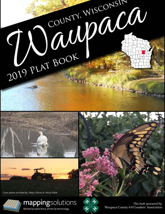 The Waupaca County 4-H Leaders’ Association has released the 2019 Waupaca County Plat Book.
The spiral-bound book features maps showing townships within the county and property boundaries for all rural parcels.
Along with landownership maps are the new aerial view maps of the local land.
Additional maps include school districts, recreation and county roads.
Municipal maps of Big Falls, Clintonville, Embarrass, Fremont, Iola, Manawa, Marion, New London, Ogdensburg, Scandinavia, Weyauwega and Waupaca are also included.
Prospective or adjoining property owners, hunters, foresters, timber and emergency services may benefit from this information.
The 2019 Waupaca County Plat book is available for $35 at the UW-Extension office, 811 Harding St., Waupaca.
The book is also available at other locations and through the mail. Call 715-258-6230 for more information.
Sales of this plat book support the Waupaca County 4-H program.